

With the British Columbia DLC from SCS Software on the way, you would be forgiven for thinking that we were done with expanding British Columbia in ProMods Canada. With that said, we are happy to announce that the next content update for ProMods Canada, version 1.7.0, is on the way and will be with you very soon!
In what will likely be the final content update for ProMods Canada prior to SCS releasing their British Columbia DLC, v1.7.0 expands the map towards the north, bringing towns and settlements along the Skeena River and beyond.
Why are we working on a map that’s going to be replaced soon?
With the British Columbia DLC from SCS on the way, you may expect us to have tied up development on BC and started working elsewhere. Truth is, much of the new content in v1.7.0 was developed years ago – in fact, we first showed it off in a blog post back in 2023. While development on this area was quite advanced, there were still some unfinished gaps that prevented us from releasing it sooner.
With SCS’s DLC on the way, it felt wrong to let all that work go to waste, so we decided to get it finished up so that it could spend some time in the spotlight and be enjoyed by all of you; for at least a little while, anyway!
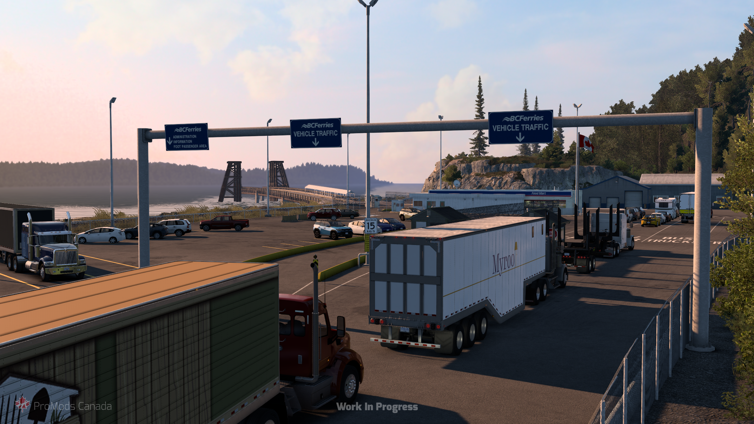
All the new areas in v1.7.0 are found away from the rest of the current ProMods Canada map, accessed via a new ferry connection operating out of Vancouver Island. Let’s take a look at the new locations waiting to be discovered.
Prince Rupert & The Yellowhead Highway
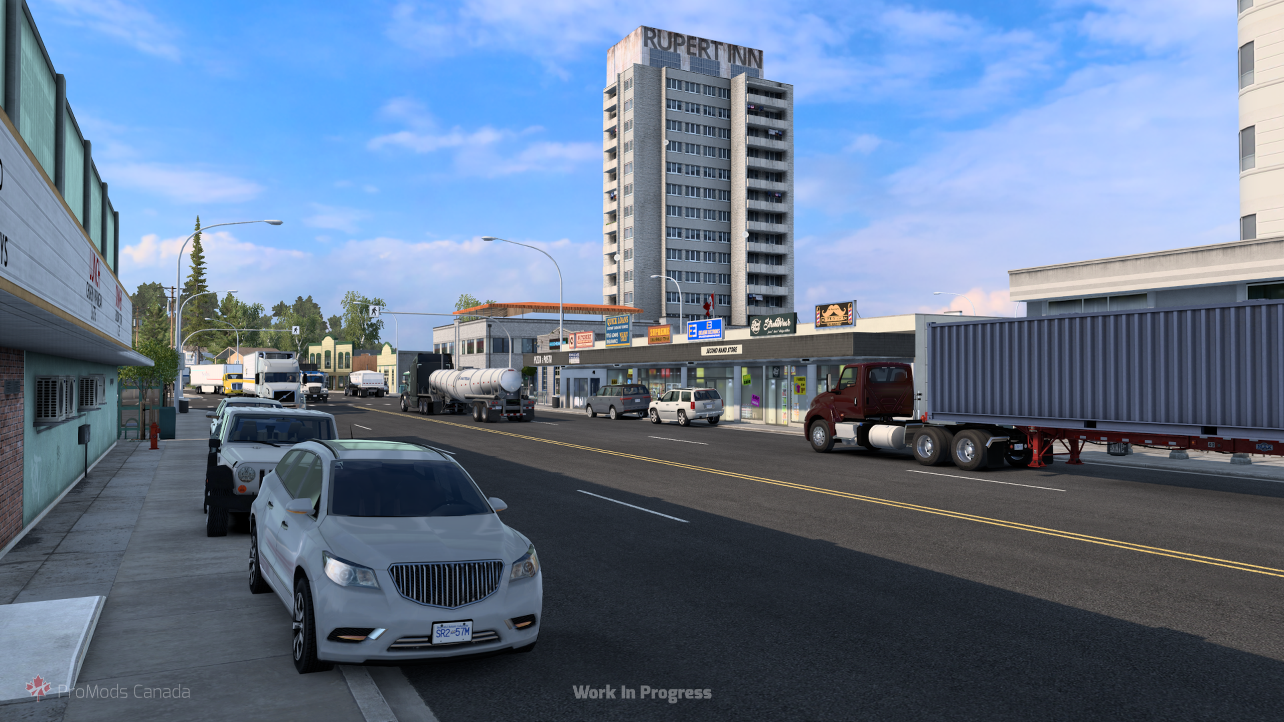
Situated on Kaien Island, Prince Rupert is a vital port city on BC’s North Coast, known for its deep-ice-free harbor, rich coastal indigenous history, and dramatic pacific weather. Serving as a crucial transport hub for northern shipping and logistics, it offers a stark, atmospheric coastal backdrop for truckers taking on northern deliveries.
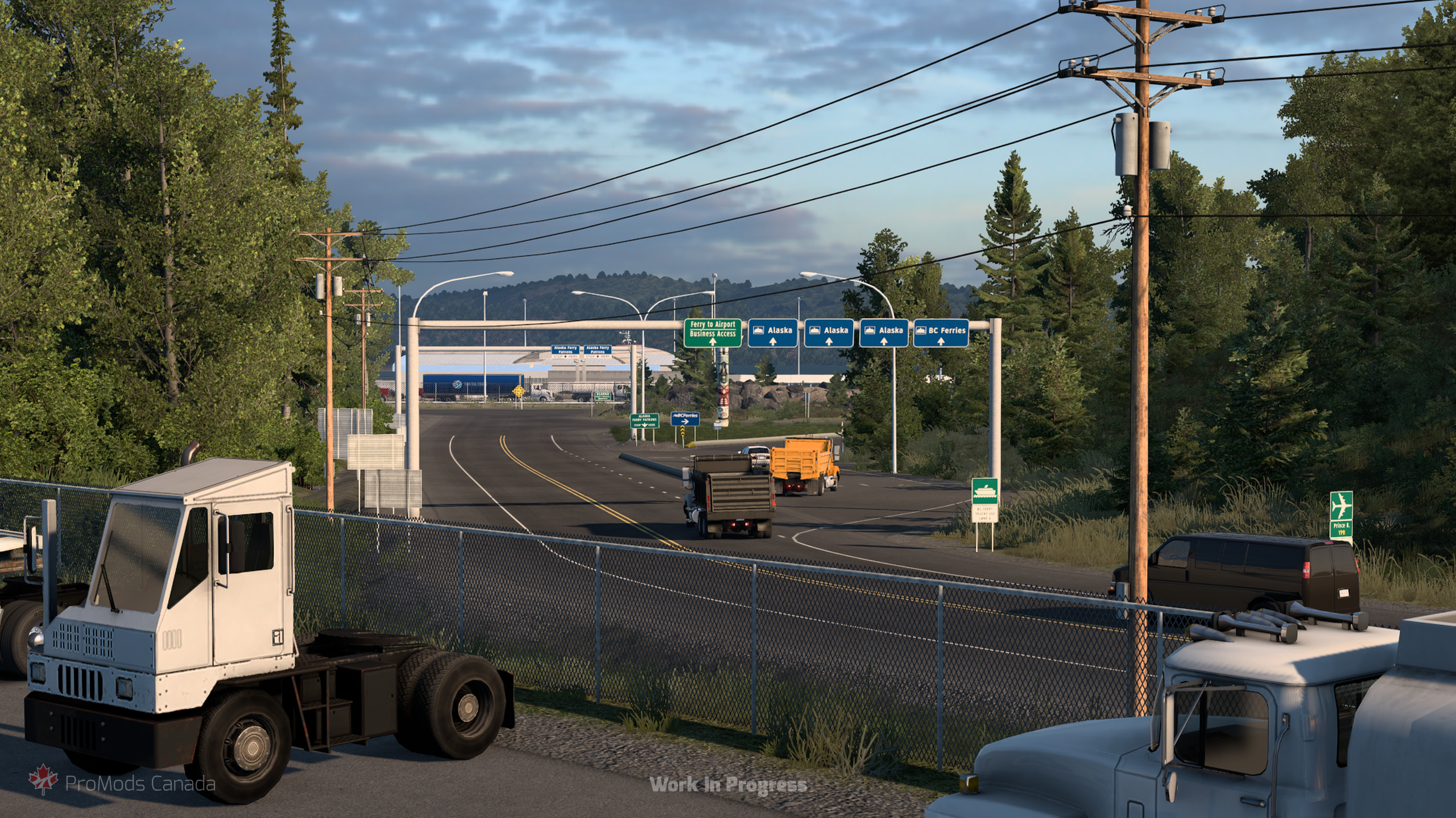
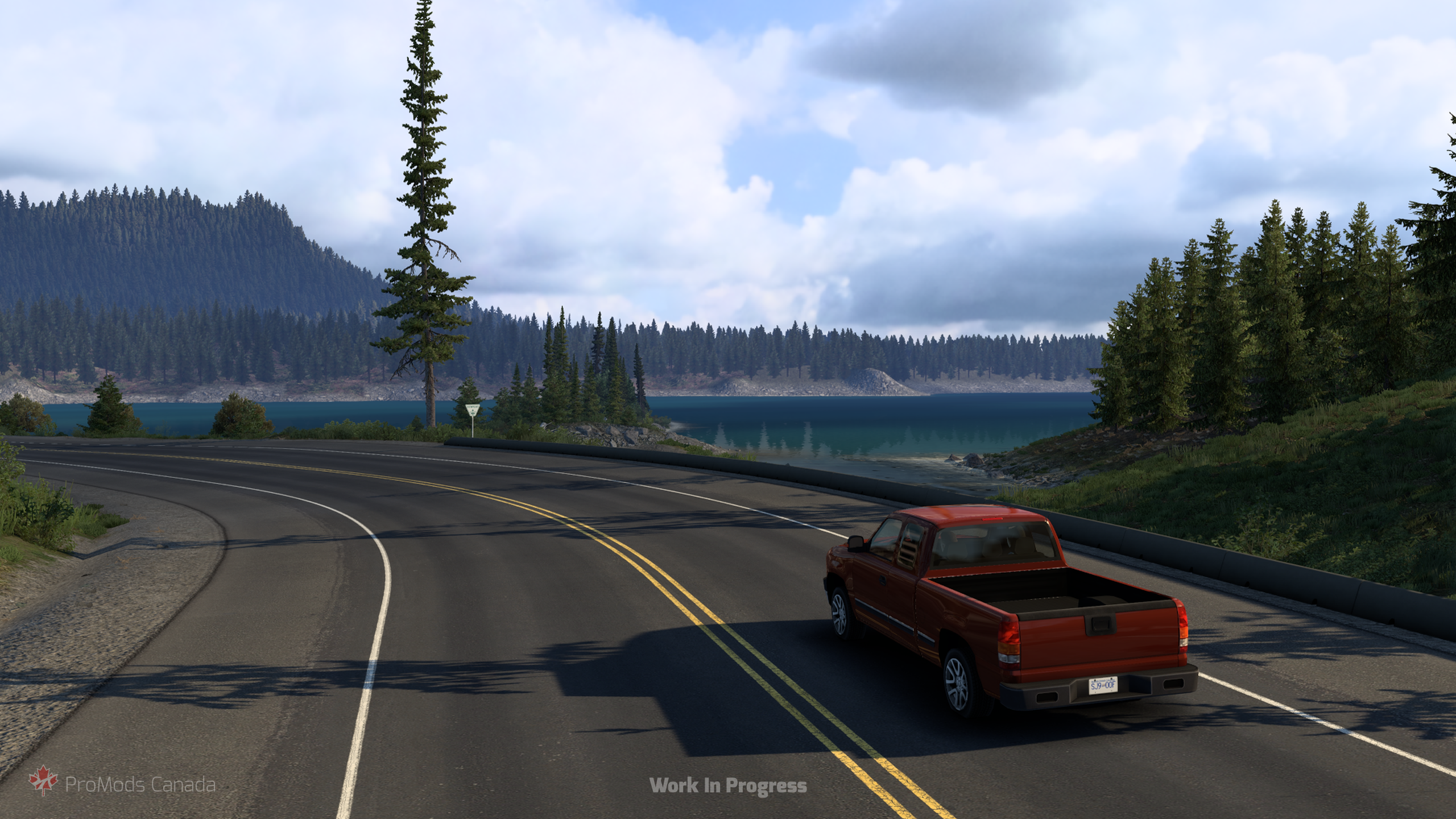
Leaving Prince Rupert behind, drivers will follow the Yellowhead Highway (BC-16) as it snakes east alongside the sweeping waters of the Skeena River towards Terrace. The drive takes you through dramatic river canyons framed by dense rainforests and sheer rock faces, offering one of the most picturesque scenic corridors in the region.
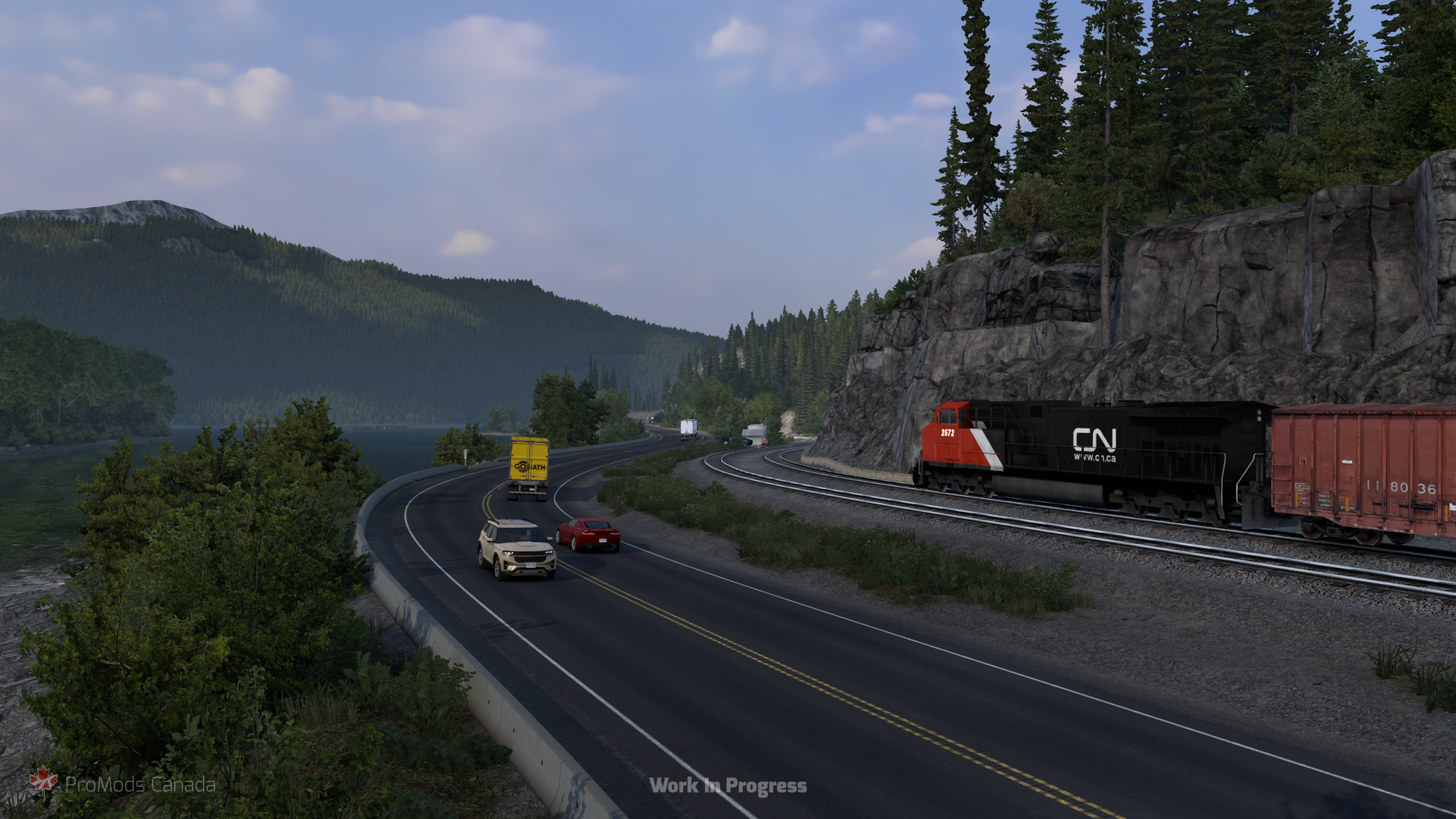
Terrace
Nestled at the confluence of the Skeena and Kalum rivers, Terrace acts as the primary economic hub for the surrounding region. surrounded by rugged mountains and deep forest, it serves as a central point for regional forestry, trade, and highway freight moving through Northern BC.
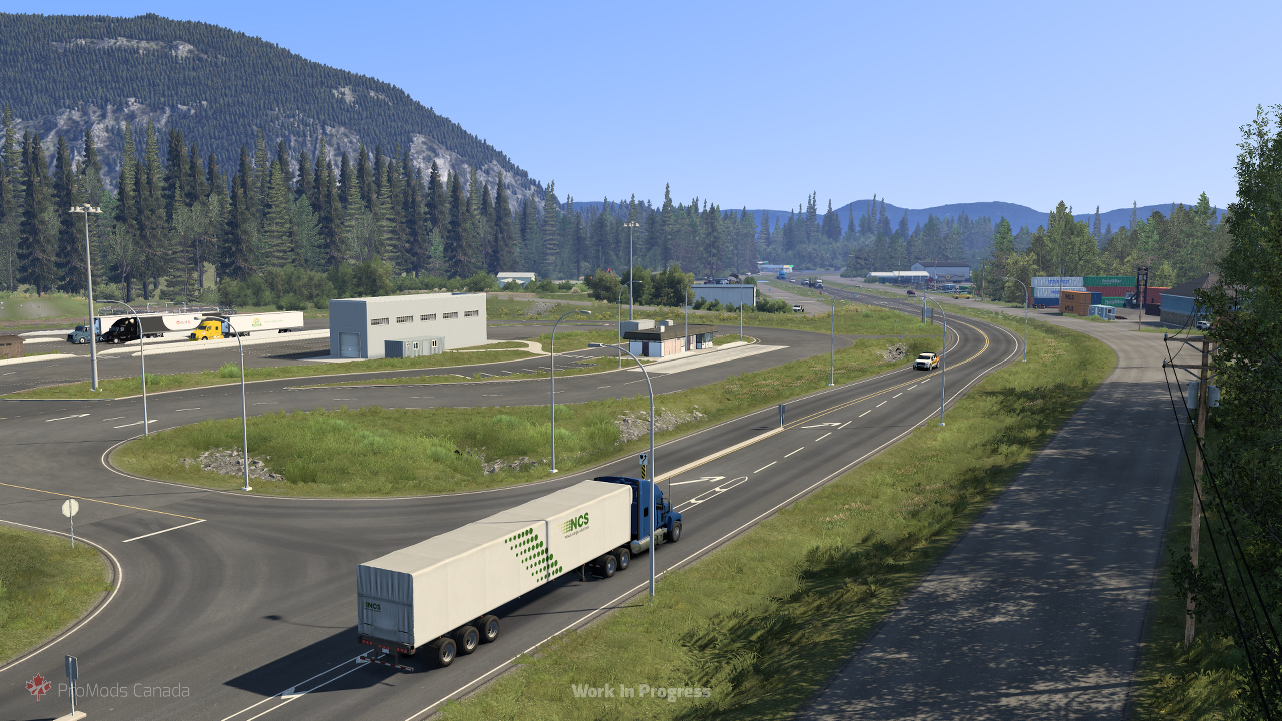
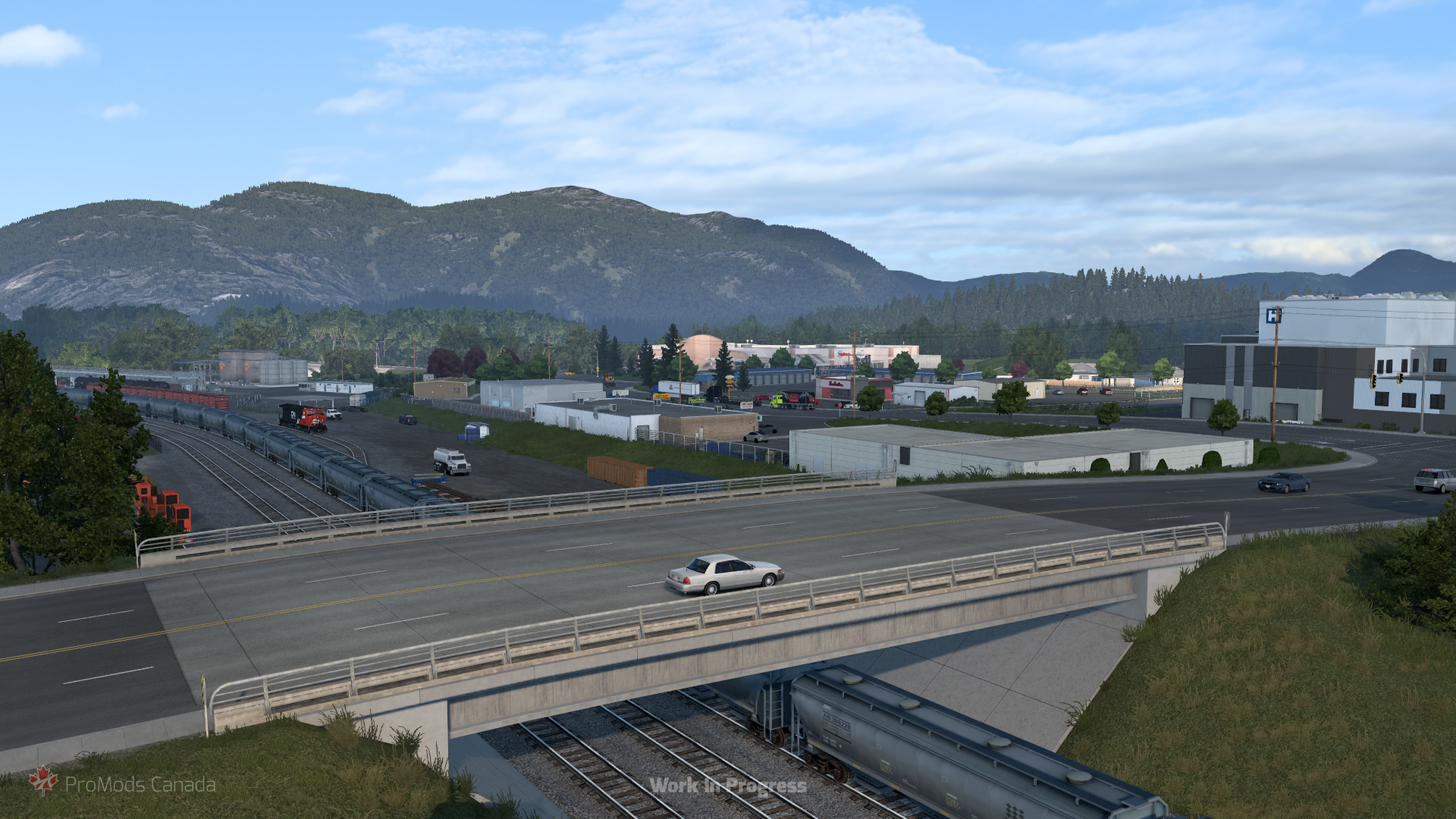
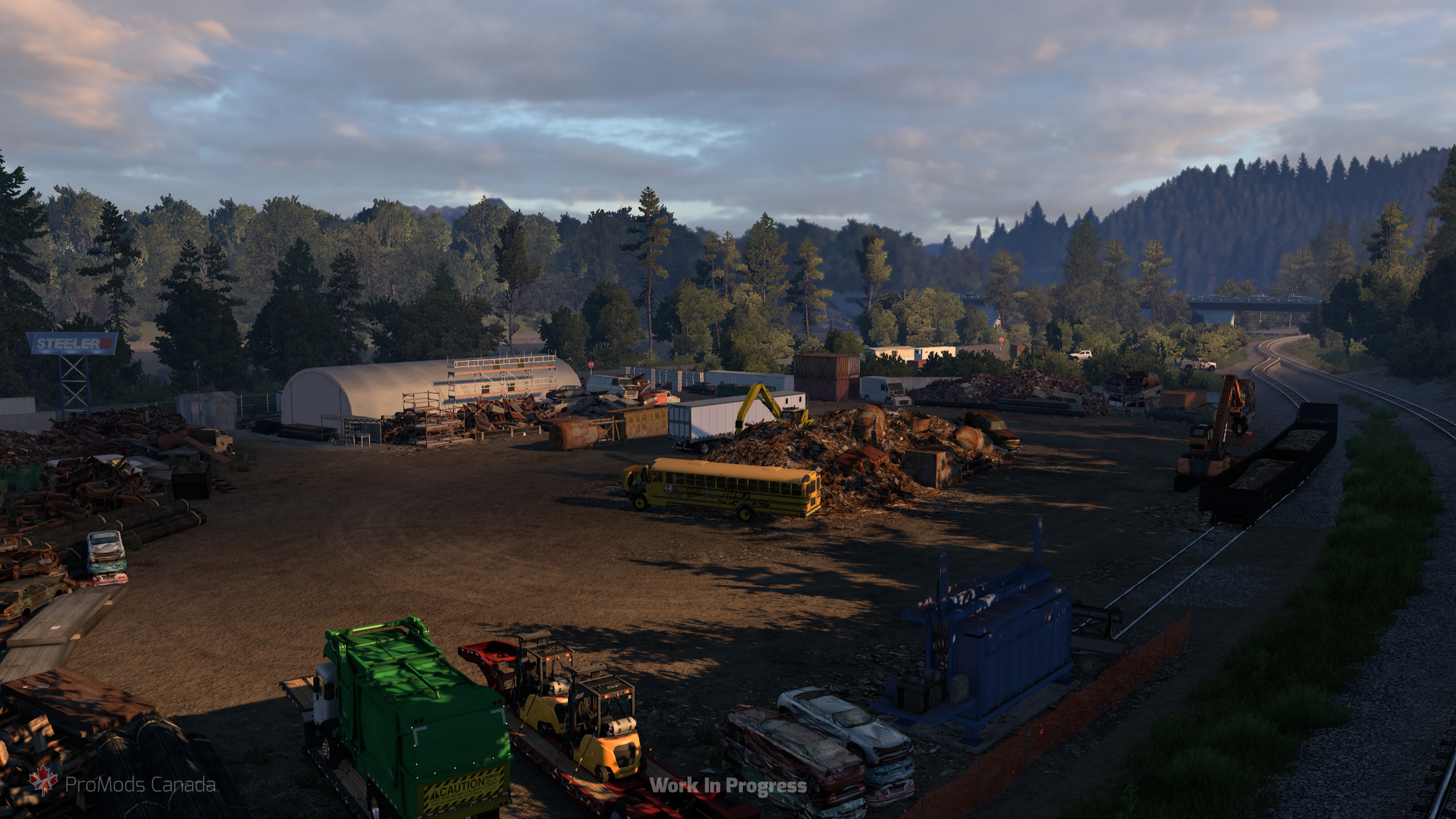
Hazelton
Further along BC-16 we reach Hazelton, a community steeped in history near the historic meeting point of the Skeena and Bulkley rivers. Surrounded by towering mountain peaks and historic pioneer heritage, passing through here really gives you a sense of just how remote and majestic this part of Canada can be.
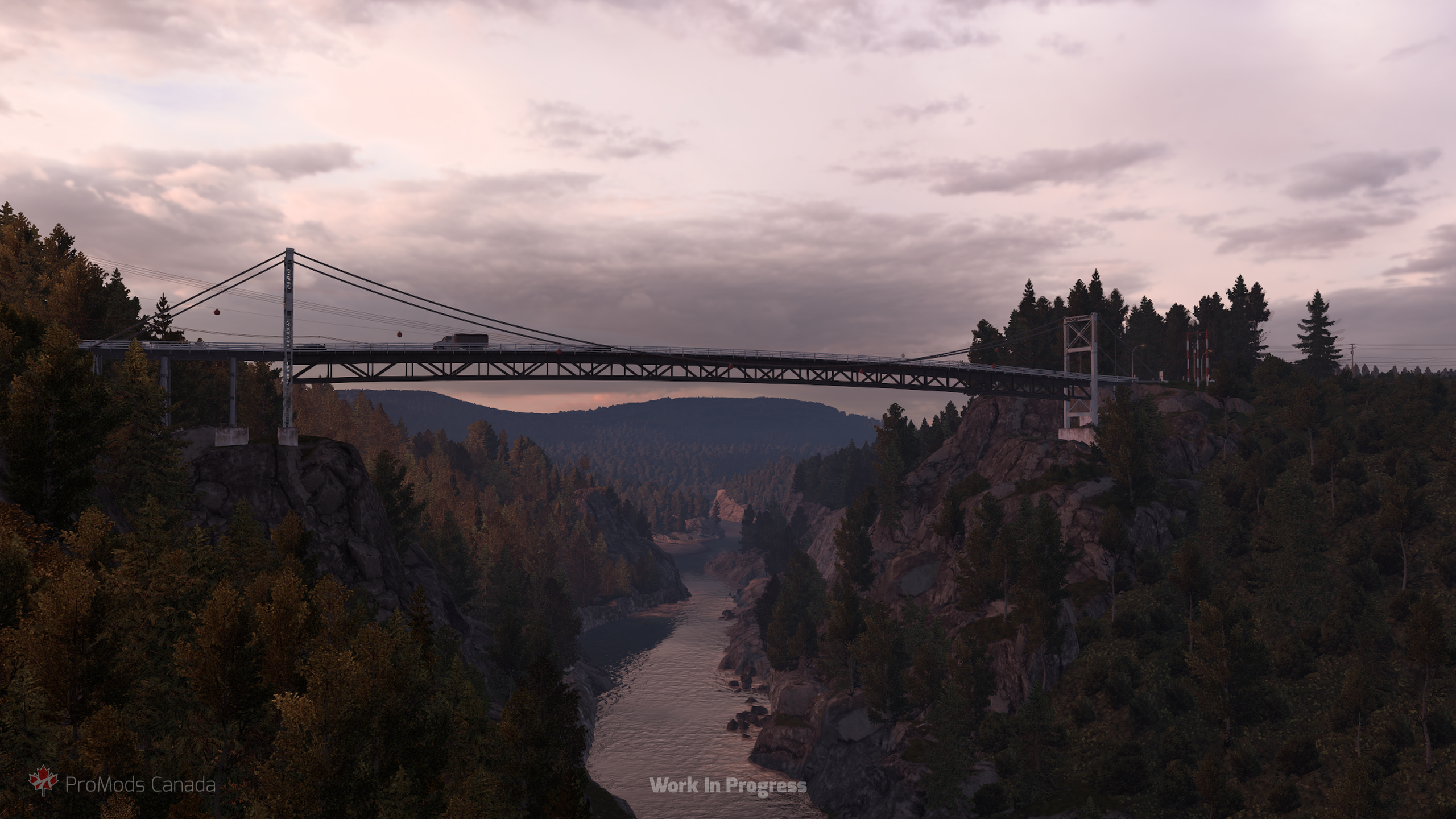
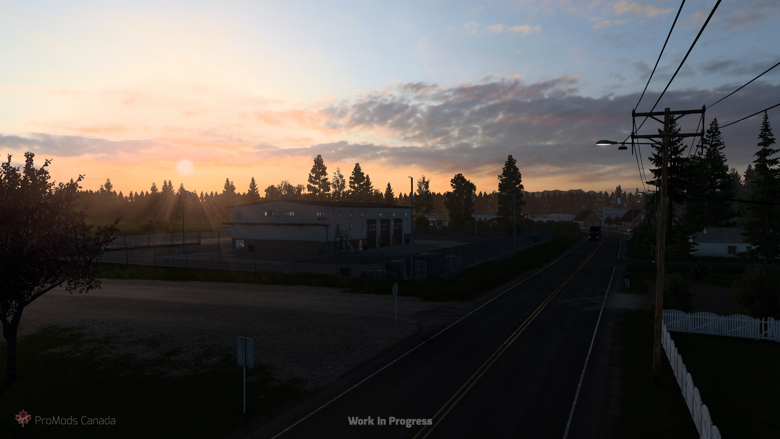
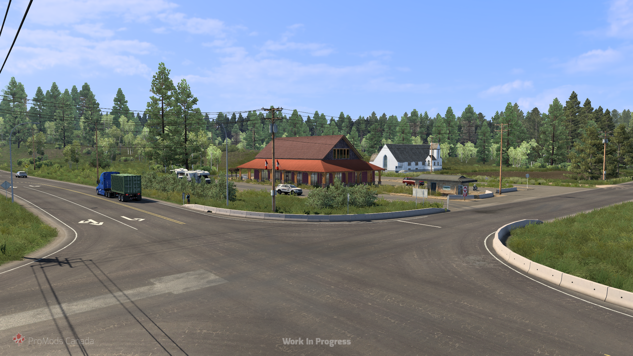
Gitanyow & Meziadin Junction
Tracing back our steps, we soon meet Highway 37 (the Stewart-Cassiar Highway) and head north. Gitanyow is a proud First Nations community famous for its impressive collection of traditional standing totem poles, showcasing deep cultural heritage right at the edge of the wilderness.
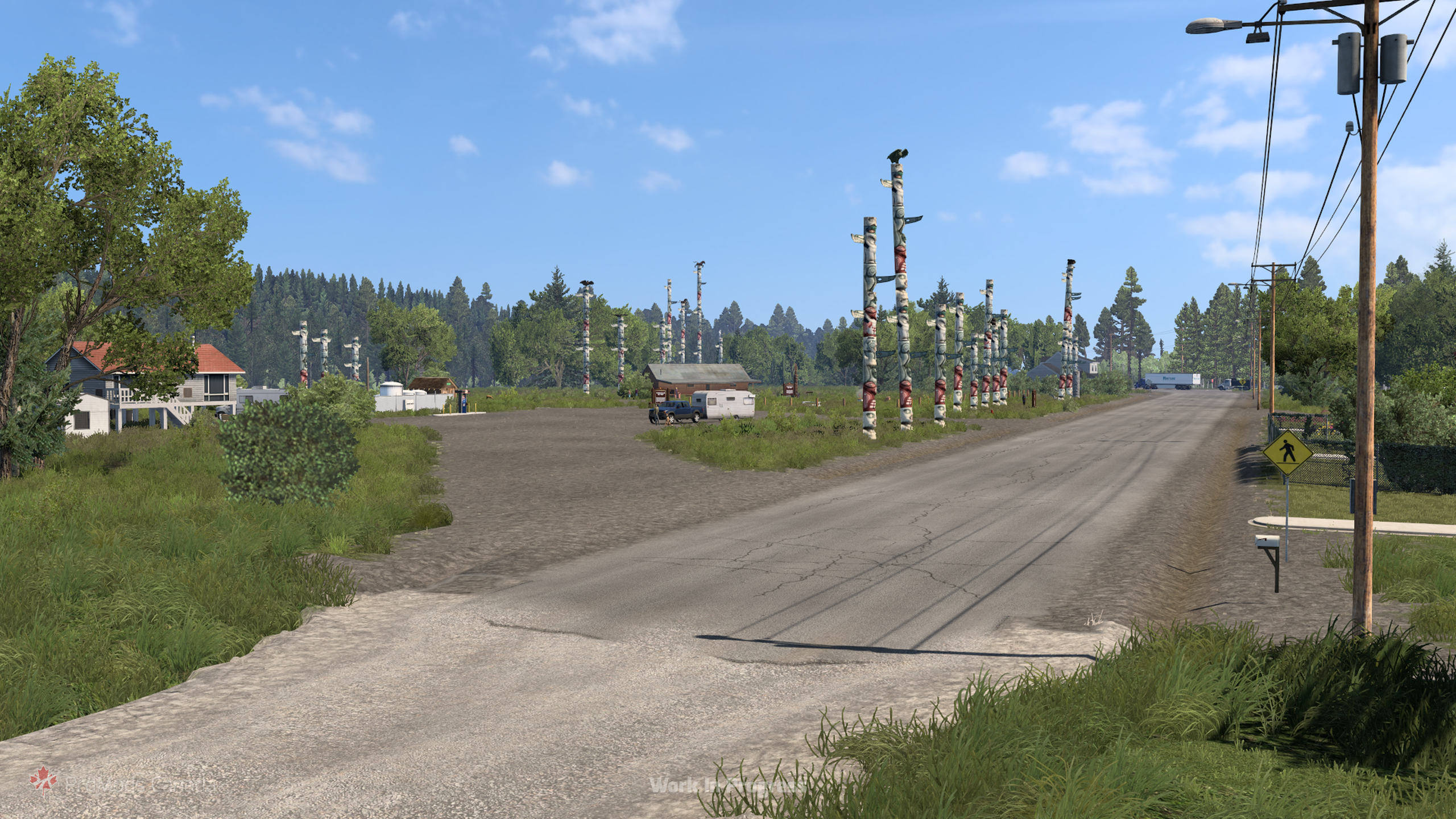
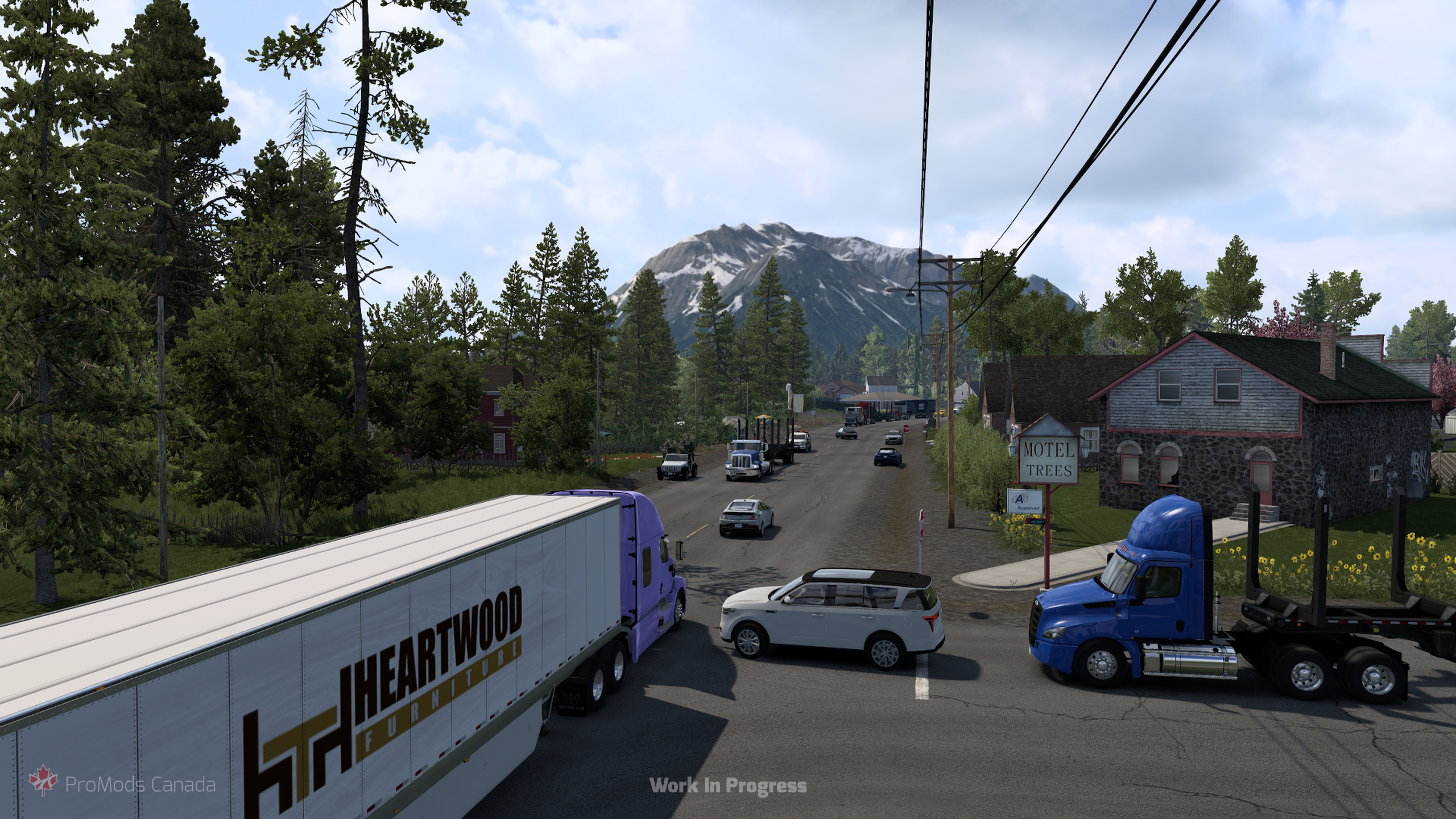
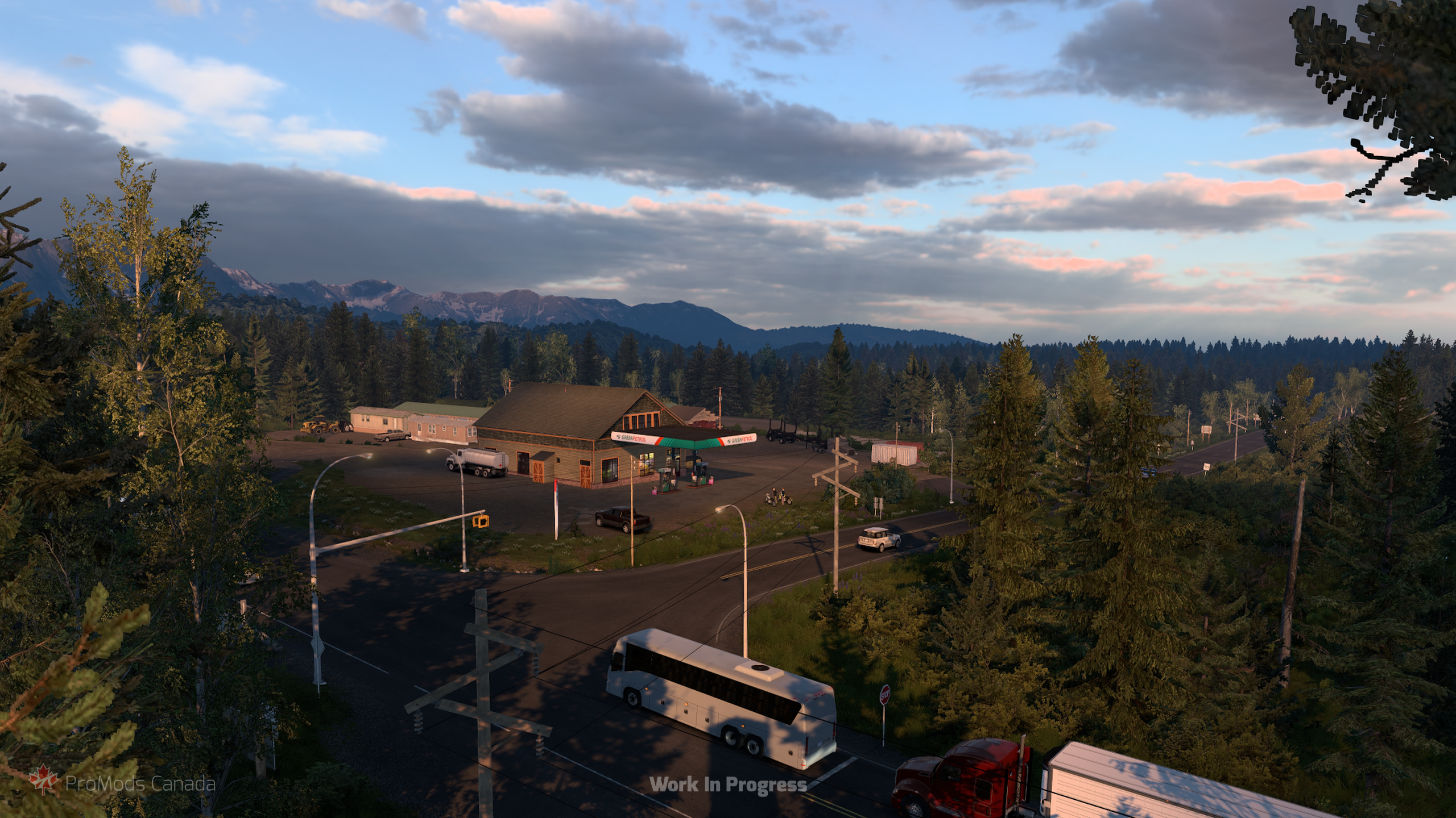
Finally, continuing further north along the rugged expanse of Highway 37, we reach Meziadin Junction. Situated alongside the pristine glacier-fed waters of Meziadin Lake, this isolated junction serves as a lonely outpost for travelers and truckers alike. From here, drivers can choose to continue north on BC-37 toward the wilderness beyond, or branch west along Highway 37A… but we’ll have to investigate where that leads another time!

2 Comments
Keenen
If it’s not too much could you add Fort st James as a Easter egg idea and have World Class Chicken racing going on as part of the destination
Drive Safely
This is going to be so scenic!